
Scattered showers and thunderstorms are anticipated across various areas this Saturday, with some forecasts indicating the potential for heavy downpours, gusty winds, and even hail. This unsettled pattern is set to persist into early next week in some locations, bringing a heightened risk of severe weather.

Multiple regions are bracing for a stormy start to the weekend, with Saturday marked by scattered showers and the distinct possibility of thunderstorms. These events could bring significant disruption, including the risk of flash flooding and damage to infrastructure, particularly in parts of central and southern England and Wales where a yellow warning has been issued.
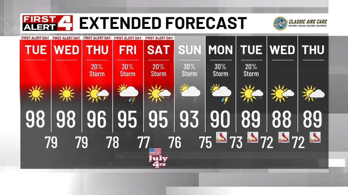
In Louisville, Kentucky, meteorologists are predicting scattered storms for Saturday, following a day of lighter showers on Friday. The forecast suggests a continuation of this unsettled weather into early next week, with potential for strong to severe storms on both Monday and Tuesday as a cold front approaches.
Read More: Telangana districts face heavy rain alert for June 7

Further north, South Bend, Indiana, is under a "First Alert Weather Day" for Saturday, Monday, and Tuesday due to the combination of summer heat, humidity, and developing storms. Monday and Tuesday, in particular, carry a threat of strong to severe storms as a boundary moves through the region.

Similarly, the Mid-Ohio Valley expects scattered showers and storms through Saturday, with a marginal risk for severe weather on both Friday and Saturday. These storms could bring hail and gusty winds.
Southeast Michigan is set for a quick warm-up on Saturday, accompanied by scattered showers and isolated thunderstorms. While widespread severe weather is not anticipated, these isolated storms may be potent.
The United Kingdom, specifically central and southern England and Wales, faces a yellow warning for thunderstorms on Saturday between 0900 and 1800. These storms are expected to bring frequent heavy showers, potential lightning, hail, and strong, gusty winds. This activity is predicted to ease by Sunday, with brighter, drier conditions returning.
Read More: Oil Prices May Hit $150 Per Barrel in 2-3 Weeks
Background and Broader Patterns
The convergence of warmer, more humid air with approaching cold fronts appears to be the primary driver for the weekend's stormy conditions. This atmospheric setup is conducive to the development of convection, leading to the widespread showers and thunderstorms reported across different meteorological outlets.
The forecasts indicate that after Saturday's primary weather event, some areas will see a return to calmer, cooler, and drier weather early the following week. However, for others, the threat of severe weather may extend into Monday and Tuesday, necessitating continued vigilance.


