Strong gusts and potentially disruptive winds are sweeping across various parts of the UK on Thursday, with forecasts indicating speeds of up to 70mph in coastal areas around the Irish Sea and parts of Wales and south-west England. This weather event is expected to usher in a noticeable drop in temperatures by Friday, bringing a return of wintry conditions, including snow, particularly on higher ground.

The incoming weather system, described as a "turbulent burst of Atlantic weather," is characterized by powerful winds and heavy rain, pushing southeastwards across the country. Met Office yellow warnings are in effect for wind across several regions, including Northern Ireland for Thursday morning until midday. Scotland is anticipating strong winds throughout Thursday, with northern England, north Wales, and the Midlands also in the path of the gusts.
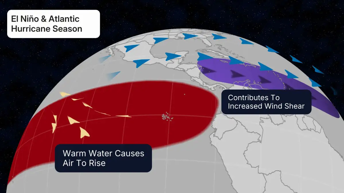
Read More: El Niño May Come to Australia, Weather May Change

Travel and Power Disruptions Possible
The strong winds could lead to some travel complications. Restrictions on bridges are a possibility, and delays may affect ferry and rail services. Furthermore, there's a prospect of short-term power outages in affected areas.

Wintry Showers on the Horizon
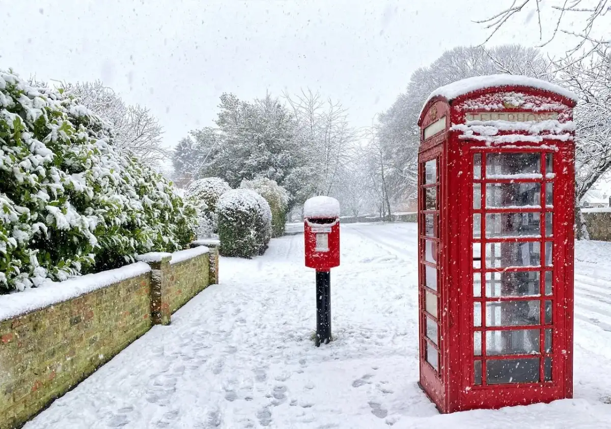
As temperatures plunge on Friday, the likelihood of wintry weather increases. Hail, sleet, and snow showers are anticipated, especially in Scotland, Northern Ireland, and northern England, predominantly over elevated terrain. A yellow warning for snow and ice has been issued for central and north-west Scotland from midnight to 9 am on Friday.

Shifting Conditions and Temperature Drops
Friday is expected to feel significantly colder across the nation, with temperatures falling below average as colder air moves in from the Arctic region. While southern regions might still see temperatures around 18C, Scotland and Northern Ireland are forecast to hover around 11C. Rainfall is also a feature of this system, with potential for up to 50mm in some areas.
Read More: King Charles Presents UK Government Plans Amidst Labour Leader Pressure
Background
This influx of strong winds and colder weather follows a period of considerable rainfall across the UK in September. The Met Office's weather alerts reflect a dynamic Atlantic weather front impacting the British Isles. Previous weather events, such as a cold snap at the end of December 2025, also saw snow and ice warnings issued for Scotland.