
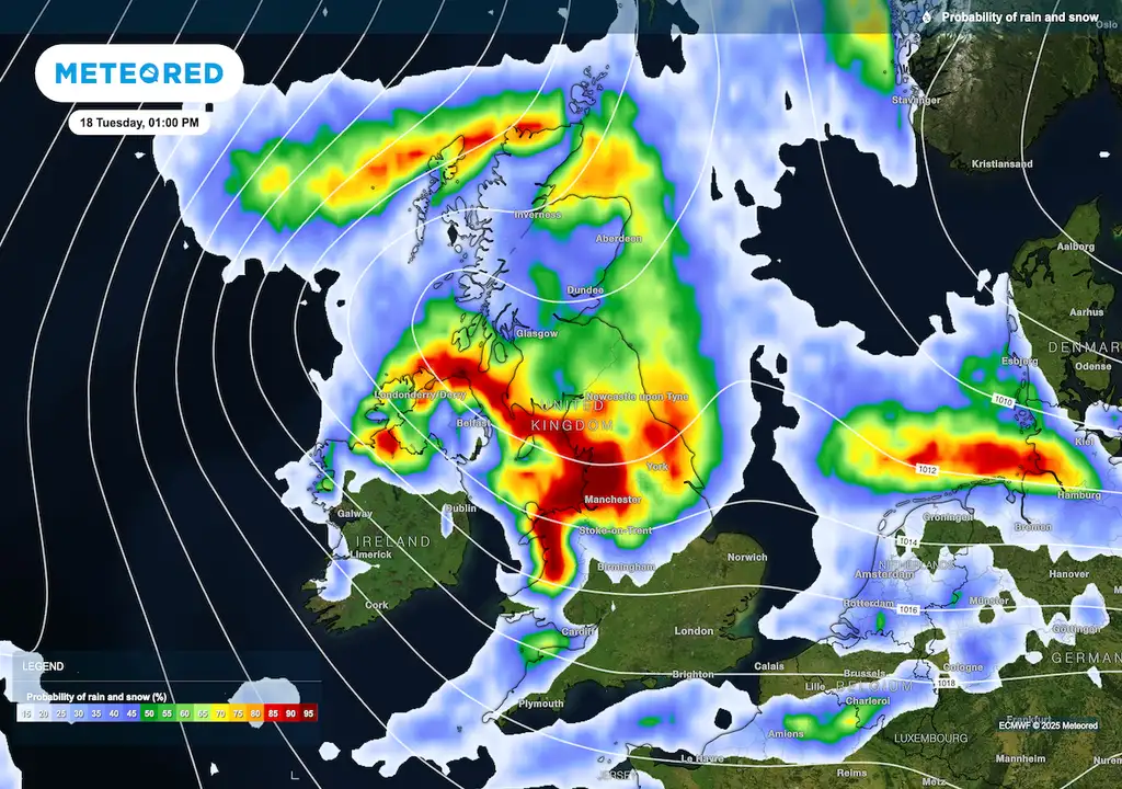
A significant shift in weather patterns is underway as Arctic air prepares to sweep across the United Kingdom this week, bringing a stark contrast to the recent spring warmth. This influx of cold air is expected to trigger a midweek cold snap, with temperatures forecast to dip notably below seasonal averages. While specific timings and intensities vary across reports, a consensus points to a period of significantly cooler conditions, particularly from Wednesday onwards.
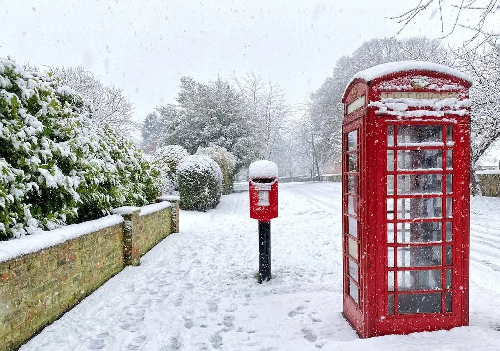
Sub-Zero Possibilities and Wintry Showers
Reports indicate that daytime temperatures will struggle to rise, with figures hovering between 9°C and 14°C initially, but dropping further. Overnight lows could plummet to 3°C or 6°C in some areas. The cold air mass is projected to be roughly 3 to 7 degrees Celsius below the typical mid-May figures. Scattered showers are a distinct possibility, and over higher ground, particularly in Scotland and Northern Ireland, these could take on a wintry character, potentially bringing snow. Frost is also a concern, especially for rural areas, with warnings of ground frost extending into the coming week.
Read More: Telangana districts face heavy rain alert for June 7
The shift is attributed to winds originating from northern Scandinavia and the Arctic Circle, which are effectively limiting any lingering warmth. While some forecasts suggest a gradual return to average temperatures later in the week, this may be accompanied by persistent rain across various regions, especially in western and northern parts of the UK. Scotland and Northern Ireland are identified as areas likely to experience the most sustained rainfall.
Background and Related Events
This incoming cold snap follows a period of considerable weather activity. Recent events include Storm Claudia, which brought substantial rainfall to parts of England and Wales, leading to widespread flooding and disruption to transport networks. In the immediate past, specific warnings for snow and ice were issued for northern and eastern Scotland, as well as northern England, with temperatures dipping below freezing. The UK Health Security Agency also issued cold-health alerts for vulnerable populations during this prior period of severe weather.
Read More: Starmer Blames Foreign Interference for UK Division After Nowak Murder


