
SALT LAKE CITY, UT – Scientists have uncovered a substantial reservoir of freshwater lying deep beneath the Great Salt Lake, a discovery that challenges previous understandings of the region's geology and water resources. Using airborne geophysical imaging, researchers have mapped a significant freshwater deposit under the eastern margins of the lake, extending into areas previously thought to be exclusively saline.

The freshwater system, located beneath Farmington Bay and Antelope Island, appears to be extensive, with indications it could potentially stretch under the entire lake. This finding suggests a more intricate hydrogeological structure than previously assumed for terminal lakes. Researchers used airborne electromagnetic (AEM) surveys to penetrate the surface layers and map the boundary between freshwater and saltwater.

Mapping the Hidden Waters
The surveys revealed a clear interface approximately 9 meters below the surface, where freshwater transitions into the lake's salty water. Notably, the freshwater extends significantly toward the lake's interior. This subterranean body is described as artesian, implying it is under pressure. The potential volume of this freshwater resource is being calculated based on depth, width, and porous space estimations.
Read More: UK Sees Earliest Spring Ever With Bluebells Blooming in March 2024
Implications for Dust and Water Management
The existence of this hidden freshwater could offer new strategies for addressing the growing 'dust crisis' associated with the Great Salt Lake's shrinking levels. As exposed lakebeds release dust containing potentially harmful substances, understanding these underground water sources might provide a means to suppress dust or offer alternative water reserves.

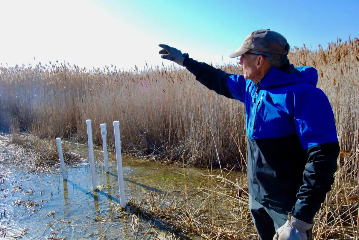
The Nature of the Reservoir
Early analyses suggest this freshwater body may be ancient. The pressurized nature of the water causes it to well up in certain spots, creating small islands where reeds, like phragmites, have begun to grow, serving as a visible indicator of the freshwater’s presence. Researchers are now focused on further analysis to determine the age and chemical composition of this water and to understand how it interacts with the overlying saline layers and potential inflow from mountain sources.
Ongoing Research and Future Scope
While initial surveys have focused on the southeastern edge of the lake, covering Farmington Bay and Antelope Island, scientists are planning broader surveys. The goal is to map the full extent of the Great Salt Lake’s approximately 1,500-square-mile footprint to get a complete picture of this freshwater treasure. This research could inform regional water management and guide similar investigations into freshwater reserves under other terminal lakes globally.
Read More: Artemis II astronauts share first Earth photos from moon journey
Background
The Great Salt Lake, North America's largest saltwater lake, has been a subject of concern due to its rapidly declining water levels. This decline has amplified fears about the ecological and public health impacts of dust storms originating from the exposed lakebed. The discovery of a significant freshwater reservoir beneath the lake adds a new dimension to the complex environmental challenges facing the region.


