New Delhi: The capital city has registered its highest temperatures of the season, with readings frequently breaching the 43°C mark and even touching 45°C in some areas. The Indian Meteorological Department (IMD) has issued warnings, forecasting continued heatwave conditions with little respite in sight for the coming days.

Several stations across Delhi recorded peak maximum temperatures significantly above the seasonal normal for this period, with readings such as 44.6°C at the Ridge station and 44.4°C at Ayanagar reported. Safdarjung, the city's primary weather station, clocked 43.4°C, a substantial rise over the normal maximum of 40.4°C for mid-May.
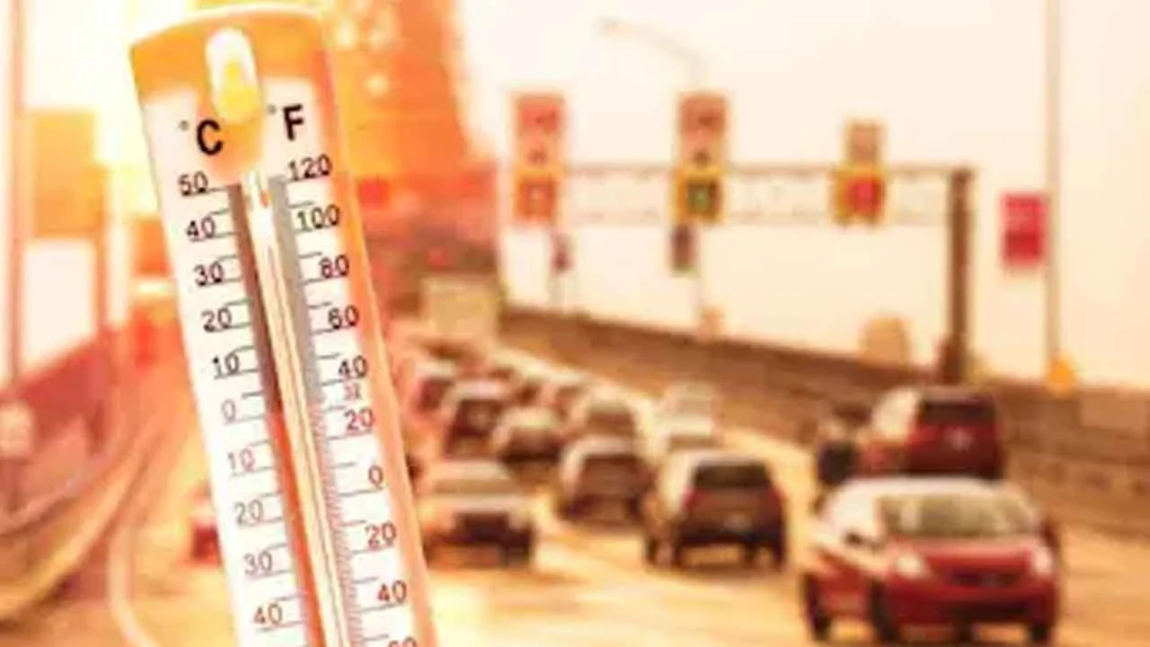
The IMD's assessments indicate that temperatures are expected to persist in the 40-42°C range, with some forecasts suggesting a potential climb to 45°C on certain days this week. This sustained intensity is attributed to clear skies, dry weather patterns, and strong surface winds, which can exacerbate the oppressive heat and lead to conditions resembling 'loo'.
Read More: Delhi heatwave peaks at 44°C, yellow alert issued

Forecast and Alerts
The meteorological department has issued a yellow alert for heatwave conditions, signifying the seriousness of the ongoing weather. Projections for the week ahead, from May 19th to May 25th, indicate maximum temperatures hovering around 43-44°C, with overnight lows remaining in the high 20s. Heatwave conditions are specifically anticipated to continue until around May 22nd.

| Date | Max Temp (°C) | Min Temp (°C) | Humidity (%) | Warning | Details |
|---|---|---|---|---|---|
| May 19 | 44 | 28 | 27 | Heat Wave | Strong surface winds afternoon & evening |
| May 20 | 44 | 27 | 35 | Heat Wave | Strong surface winds afternoon & evening |
| May 21 | 44 | 27 | 35 | Heat Wave | Strong surface winds afternoon & evening |
| May 22 | 43 | 28 | 35 | Heat Wave | Strong surface winds afternoon & evening |
| May 23 | 43 | 27 | 40 | Strong Surface Winds | Strong surface winds during daytime & evening |
| May 24 | 44 | 27 | 45 | Strong Surface Winds | Strong surface winds during daytime |
| May 25 | 44 | 28 | 45 | Strong Surface Winds | Strong surface winds during daytime |
The daily heat index, which accounts for humidity, has also reached punishing levels, making the perceived temperature significantly higher than the actual air temperature.
Contextualizing the Heat
The current temperatures are a stark contrast to the normal maximums for this time of year, which typically hover around 40.4°C for the period of May 16th to 20th. The departure from normal, in some instances exceeding 4.8°C, is a key indicator that heatwave criteria are being met. A heatwave is officially declared when maximum temperatures reach 45°C or more, or when they exceed 40°C with a departure of at least 4.5°C above normal.
Read More: Delhi Heatwave Alert: Temperatures Near 45°C This Week
Reports from a day ago indicated that Monday's peak temperatures surpassed those recorded on previous days, including a previous season-high of 42.8°C on April 25th. Neighboring areas such as Noida and Ghaziabad have also reported high temperatures, exceeding 40°C and 42°C respectively. The absence of rainfall forecasts further solidifies expectations of prolonged harsh summer conditions.