
Recent developments indicate a dynamic expansion within the QGIS plugin landscape, particularly in the integration of advanced geospatial artificial intelligence (GeoAI) and streamlined data access.
The GeoAI plugin, now readily available through the official QGIS Plugin Manager, directly embeds various geoai models within QGIS. This allows users to leverage tools for tasks such as tree segmentation, water segmentation, and general semantic and instance segmentation without leaving their primary geospatial workspace. The plugin facilitates experimentation with these AI capabilities by presenting them in dockable panels.
Further underscoring the sector's activity, QGIS repositories have seen a flurry of pull requests and updates across numerous projects, particularly in early June 2026. This indicates ongoing development and community engagement.
More broadly, the QGIS plugin ecosystem offers a diverse array of tools addressing everyday GIS needs. Popular plugins as of June 4, 2026, include "NextGIS QuickMapServices" for easy basemap integration, "OpenTopography DEM Downloader" for digital elevation model acquisition, and "Semi-Automatic Classification Plugin" for image analysis. Other notable offerings include tools for downloading OpenStreetMap data via Overpass API and batch processing capabilities.
Read More: SpaceX Plans Record $75 Billion IPO on June 3, 2026
Plugin Development and Repository Landscape
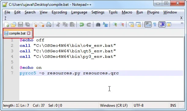
The QGIS community actively supports plugin development through various channels. Tutorials and guides, such as those published in November 2025 and May 2026, detail the process of building Python plugins for QGIS3, emphasizing the use of tools like Qt Designer and the Plugin Builder for generating initial plugin structures. Techniques for managing plugin reloading without restarting QGIS are also highlighted, streamlining the development workflow.
Beyond the official QGIS Plugin Repository, which serves as a primary hub for plugin distribution and discovery, other repositories exist. These include specialized internal or ministerial repositories, such as the MTE-MCTRCT-Mer repository, which hosts plugins developed and maintained by specific government services for internal or specialized use cases. These might include plugins tailored for applications like Géo-IDE or PostgreSQL integration.
The "GeoAI Tools" initiative also lists a suite of plugins aimed at advanced data access and analysis, including those for interacting with Copernicus Data Space Ecosystem, Google Earth Engine (via the "Geemap" plugin), Maxar Open Data, NASA Earthdata, and STAC catalogs. This collection signifies a concerted effort to bring powerful earth observation data and AI capabilities directly into the QGIS environment.
Read More: Windows Sound Problems: Microsoft Offers Old Fixes


.jpg)
