The city’s official cycling infrastructure, managed by the Department of Transportation (DOT), promotes a vision of structured, safe movement through a network of greenways, protected lanes, and curated bike tours. Yet, contemporary documentation—most notably in recent photography by Brian Finke—highlights a subculture of riders who consciously ignore these designated channels, choosing instead to navigate busy streets, bridges, and highways in displays of performative risk.

The tension between state-sanctioned infrastructure and autonomous, non-conformist street behavior reveals a fractured urban identity. While the NYC DOT spends significant resources mapping and maintaining routes like the Hudson River Greenway or the Brooklyn Waterfront, a segment of the city's youth and fringe riders operate in direct defiance of this spatial control.

The Institutional Narrative
For the average commuter, the city provides an expansive catalog of resources aimed at integration and safety. The official NYC Bike Map acts as the primary tool for this orderly engagement, offering:
Read More: Free Fares Boost Public Transport Use in Cities

Structured Connectivity: Detailed maps of conventional lanes, boulevards, and protected thoroughfares.
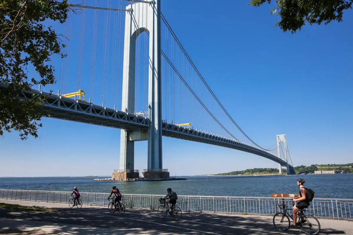
Leisure Mapping: A variety of self-guided tours, ranging from community garden circuits in Brooklyn to harbor coast routes in Staten Island.
Tech Integration: Private and public sector data aggregation through platforms like Citi Bike and various open-source bike lane trackers.
Advocacy: Organizations such as Transportation Alternatives lobby for the continuous expansion of this grid, framing it as an essential component of a modern, efficient city.
The Counter-Narrative of the Streets
Beyond the map, there exists a visible refusal to be categorized by paint on the asphalt. Finke’s documentation of riders in balaclavas navigating high-traffic zones—often feet away from empty, ignored bike lanes—suggests that for these individuals, the "safe" path is not the objective.

"During COVID, I feel like the cops were just kind of, like, Let the kids blow off steam," Finke remarked, suggesting that this behavioral divergence was permitted by a temporary suspension of standard law enforcement.
| Infrastructure Strategy | Intent | Reality |
|---|---|---|
| Protected Lanes | Reduce friction/injury | Avoided by non-conformists |
| Curated Bike Tours | Promote tourism/leisure | Static, high-compliance zones |
| Open Data Maps | Quantify movement | Creates a rigid, digital cage |
A Divided Landscape
The dichotomy here is striking. The city operates on a paradigm of infrastructure optimization, where the ideal cyclist is a rational actor moving along established, protected, and mapped lines. Simultaneously, a different form of mobility is emerging—one that views the city not as a series of channels, but as a vast, unruly space for stunts and unchecked movement.
Whether this represents a growing irrelevance of government planning or simply the perpetual friction between urban management and adolescent spontaneity remains an open question. The map continues to grow, yet the streets, by their very nature, remain resistant to total capture.
Read More: Harvey Weinstein NYC Rape Case Ends In Mistrial On May 16 2026