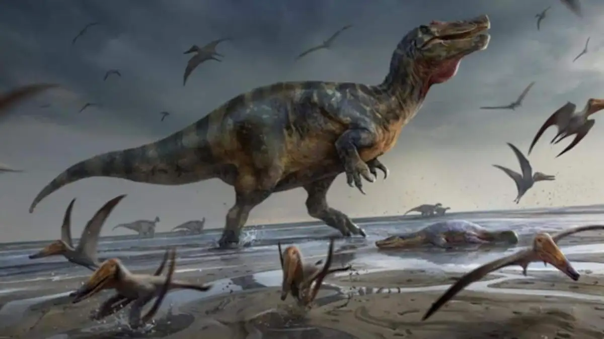
A newly accessible interactive tool, named 'Paleolatitude', allows individuals to pinpoint the geographic location of their current residence as it existed millions of years ago, including the age of dinosaurs. This visualization is built upon the 'Utrecht Paleogeology Model', described as a highly detailed reconstruction of Earth's geological history. The system operates by analyzing magnetic traces embedded in rock formations, which indicate their past orientation and thus their journey across the planet. By inputting a location, users can observe the astonishing migratory paths landmasses have taken.

This scientific exploration offers a tangible link to deep time, enabling a broader understanding of how biodiversity has responded to historical climatic shifts and mass extinction events. Researchers can use this data to contextualize fossil records, observing how species distributions changed with latitude and over vast geological timescales. For instance, understanding the past latitude of a region allows scientists to interpret species' adaptations to changing climates and migration patterns of creatures like dinosaurs.
Read More: Botanist Peter Raven, 89, Who Championed Biodiversity, Has Died

Tracing Tectonic Tales
The interactive map traces the Earth's continental drift across significant geological epochs. Users can witness the formation and breakup of supercontinents such as 'Pangaea', where regions now separated by vast oceans were once in proximity. For example, the landmass that now constitutes the United Kingdom has undertaken a significant geographical shift to reach its present position. Cities like 'Paris' and 'Marseille' have been situated in areas teeming with dinosaur fossils, such as 'Hypselosaurus', 'Rhabdodons', and 'Megalosaurus', while 'Vancouver' was once located far from its current continental alignment.

The underlying scientific principle involves 'plate tectonics', the theory explaining the movement of Earth's lithosphere. Scientists infer past continental positions by examining 'paleomagnetism' – the residual magnetism in rocks, which locks in the direction of the Earth's magnetic field at the time of their formation. This data, when correlated with geological timelines, provides a dynamic picture of our planet's ever-changing surface.
Read More: Musk Says OpenAI Betrayed Mission in California AI Trial
The 'Paleolatitude' tool is more than a novelty; it is a sophisticated scientific instrument, making complex geological data accessible. It serves as a reminder of the dynamic nature of Earth's environment, illustrating how landscapes and life have constantly transformed. The project's developers also aim to integrate data on fossilized species to map their historical distributions in relation to continental shifts and varying climatic zones, offering deeper insights into evolutionary processes.