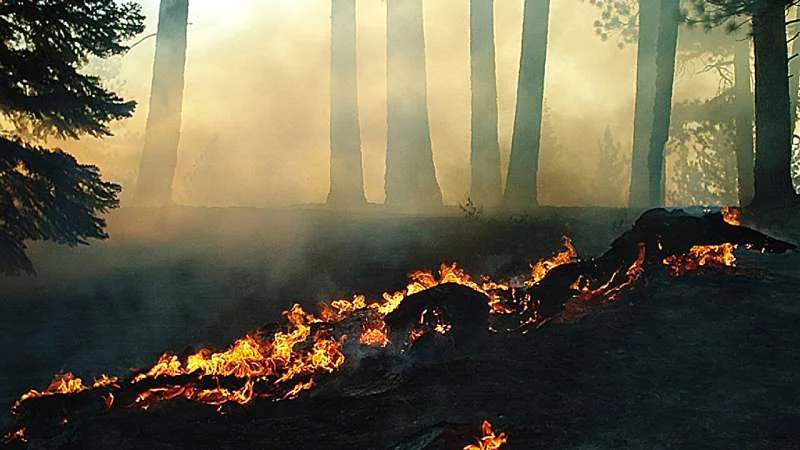
Current wildfire projections for the American West are undergoing a technical recalibration. While climate models have historically leaned on Vapor Pressure Deficit (VPD) to estimate fuel dryness, emerging research suggests this metric may artificially inflate wildfire risk assessments.

New modeling efforts are pivoting toward soil moisture as a more granular indicator of vegetation flammability. By shifting focus, researchers aim to move away from overly aggressive, generalized projections toward localized, nuanced predictions.

| Metric | Predictive Focus | Reliability Status |
|---|---|---|
| VPD | Atmospheric thirst | Criticized for exaggeration |
| Soil Moisture | Fuel dryness | Favored for precision |
| Machine Learning | Pattern recognition | High accuracy, low interpretability |
The Limits of Simulation
Predictive modeling remains caught between physical reality and computational abstraction. Standard climate models cannot simulate wildfires directly; instead, they correlate past burn data with broader climate variables.
Hybrid machine learning methods are now surfacing to outperform traditional fire indices by better processing high-resolution atmospheric data.
Recent analysis suggests that unweighted multimodel ensembles may have consistently underestimated fire danger in high-risk zones, pointing to a persistent gap in how data is aggregated.
Beyond fuel conditions, ignition sources are changing; models now project an uptick in lightning-ignited events, complicating regional preparedness and resource allocation.
The Problem of "The New Normal"
The assumption of a static "fire season" is effectively obsolete. As weather patterns shift, shifting rainfall cycles ensure that vegetation remains dry for longer, often failing to reach adequate saturation even during traditional off-seasons.
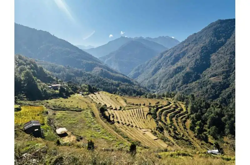
Read More: Why rural Bhutan residents are moving away due to weather in 2026
"The impending increase in lightning-induced wildfire risk… signals a paradigm shift in the natural drivers of fire regimes," notes recent literature on atmospheric physics and wildfire risk modeling.
Contextualizing Risk
Efforts like the Natural Hazards Index v2.0 are attempting to consolidate these disparate variables—from sea level rise to wildfire threats—into unified dashboards for emergency management. However, these tools face an inherent trade-off: physical, process-based models offer deeper causal understanding, while the black-box nature of advanced machine learning provides higher statistical accuracy at the expense of "why" a specific region may burn. As the Wildland-Urban Interface (WUI) faces near-term warming, the urgency to refine these tools remains high, yet the consensus on the degree of future intensity remains technically fluid.