MIDWEST RATTLED BY FEROCITY, EASTWARD THREAT LOOMS
"Severe weather… capable of producing a tornado"
Storm systems have been unleashing a torrent of tumultuous weather across various swathes of the United States, with central regions bearing the brunt of the upheaval. Reports detail instances of tornadoes tearing through areas like Kankakee, Illinois, and giant hail pummeling the same locales. Damaging winds have accompanied these events, leaving a trail of disruption. The atmospheric disturbance, noted for its relentless nature, shows no immediate signs of abatement, with warnings indicating the potential for continued destructive winds and tornadoes as the weather system progresses eastward across several states. Parts of Texas have also contended with significant severe weather, further underscoring the widespread nature of this meteorological onslaught.

VARYING ALERTS AND ALARMS
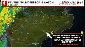
Maps tracking the atmospheric turmoil illustrate a broad spectrum of alerts. From severe thunderstorm warnings to tornado watches, the visual data from sources like 'weather.com' and 'tornadohq.com' maps out regions under immediate threat. These alerts often specify the direction and speed of these potent storms. For instance, one update noted severe thunderstorms moving east at 45 mph, while another indicated severe thunderstorms capable of producing a tornado, also tracking eastward, but at a swifter 50 mph. Another report detailed a severe thunderstorm near Mandan, North Dakota, moving east at a brisk 65 mph. The dissemination of these warnings serves as a critical, albeit unsettling, barometer of the current meteorological reality.
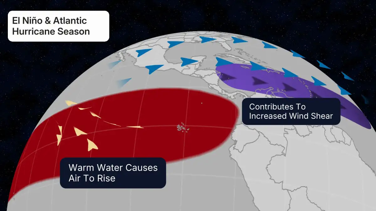
Read More: El Niño May Come to Australia, Weather May Change

THE WIDER SPREAD OF DISRUPTION
The trajectory of this potent weather event is not confined to the initial epicenters. As of Friday evening, tornado watches were active across significant portions of the central U.S., including Louisiana, Mississippi, Arkansas, Missouri, and Illinois. The concern is projected to persist, with the risk for tornadoes and severe weather escalating and expanding eastward into the weekend, particularly across the eastern U.S. The Storm Prediction Center has raised the threat level to its highest category for parts of Louisiana and Mississippi, signaling an intensified risk in those specific areas. Forecasts anticipate severe storms continuing from southern Texas through western Tennessee and into northwestern Alabama on Saturday, with another area of concern stretching from the eastern Ohio Valley into parts of western and northern Pennsylvania and western New York.
Read More: US Inflation Rate 3.8% vs. High Daily Costs Explained
CONCURRENT THREATS AND PREPARATIONS
Beyond the immediate spectacle of tornadoes and hail, the storm system is contributing to other hazardous conditions. Dangerous road conditions have been reported, particularly in Texas. Furthermore, the interaction of dry, warm, and windy conditions is fostering critical fire weather conditions across parts of the Plains, a concern extending into the weekend. This confluence of severe weather phenomena highlights the multifaceted nature of the ongoing meteorological challenge.
HISTORICAL CONTEXT AND PATTERNS
This series of severe weather events is part of a larger pattern. Reports from earlier in March indicated that the National Weather Service had forecast severe storms, complete with large hail, strong wind gusts, and the potential for tornadoes, with Friday being identified as the most impactful day. Forecasters have been warning of the possibility of multiple consecutive days of severe storms across different stretches of the U.S. in the week ahead.