STORM SYSTEM UNLEASHES TORNADO THREAT, DAMAGING WINDS, AND LARGE HAIL
A substantial severe weather event has gripped parts of the United States, with forecasts highlighting the potential for strong tornadoes spanning from Texas up into the Midwest. The unfolding situation follows a period of intense storms that have already produced observed tornadoes in states like Michigan and Oklahoma.

The storm system, characterized by its multi-day progression, is presenting multiple hazards including severe thunderstorms, large hail, and damaging winds. Authorities have issued significant alerts, with a Level 3 out of 5 risk for severe thunderstorms noted across several states including Oklahoma, Texas, Missouri, Arkansas, Kansas, Nebraska, and Iowa. This heightened alert indicates a substantial probability of damaging weather phenomena.

DIVERSE THREATS ACROSS REGIONS
The most significant tornado risk appears concentrated in areas such as eastern Oklahoma, eastern Kansas, western Missouri, and western Arkansas, where the possibility of EF-2 or stronger tornadoes has been flagged. The atmospheric conditions are described as increasingly favorable for the development of supercell thunderstorms, a type of storm known for its rotational tendencies and potential to spawn tornadoes.
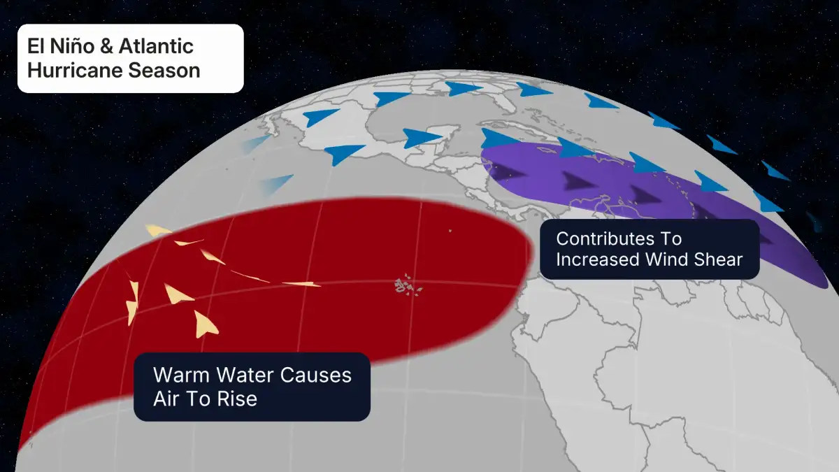
Read More: El Niño May Come to Australia, Weather May Change

Beyond the tornado threat, residents are also bracing for other severe weather impacts. Large hail, some described as potentially "monster hail," and damaging wind gusts are anticipated across a wide swath of the affected regions. Flash-flood concerns are also elevated, particularly in eastern Texas, eastern Oklahoma, Arkansas, and Louisiana, where heavy rainfall is expected.

TEMPORAL AND GEOGRAPHICAL SPREAD
The severe weather pattern is not confined to a single day. Reports indicate the phenomenon began unfolding across the Southern Plains and is expected to expand into the Midwest. Forecast discussions point to a two-phase development, initially impacting the Texas and Oklahoma region before shifting and spreading northeastward.
The implications of this extended period of hazardous weather are considerable, affecting millions of people. The danger is compounded by the fact that severe thunderstorms and tornadoes may persist through nighttime hours in some locations, increasing the risk of unforeseen damage and danger.
Read More: US Inflation Rate 3.8% vs. High Daily Costs Explained
BACKGROUND: SPRING SEASON STIRS
This surge in severe weather aligns with the typical beginning of the spring severe weather season across the central United States, a period when atmospheric conditions often become conducive to such events. The system's progression across the country brings a variety of hazardous weather impacts, with a noted distinction between severe thunderstorm activity in the south and potential wintry weather on the northern edge of the storm system.